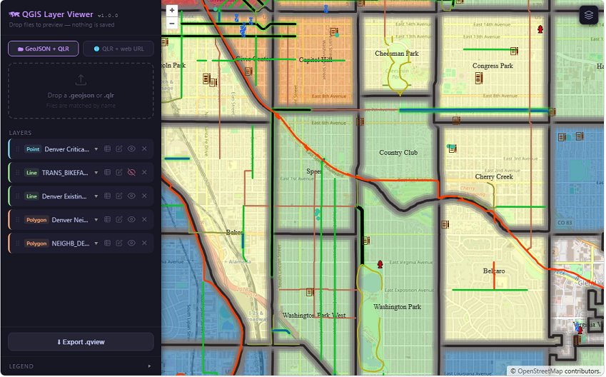
QGIS Layer Viewer is a lightweight, serverless web map viewer that reads QGIS Layer Definition files (.qlr) and GeoJSON data directly in the browser, rendering them on an OpenLayers map with styling that closely matches the original QGIS project — including categorized and graduated symbology, dash patterns, glow effects, SVG markers, labels, and map tips.
No backend, no server-side processing, no upload to any cloud service. Files are read locally or fetched from a URL. Everything runs in the browser. Deploy by copying two files to any static web server.
Continue reading